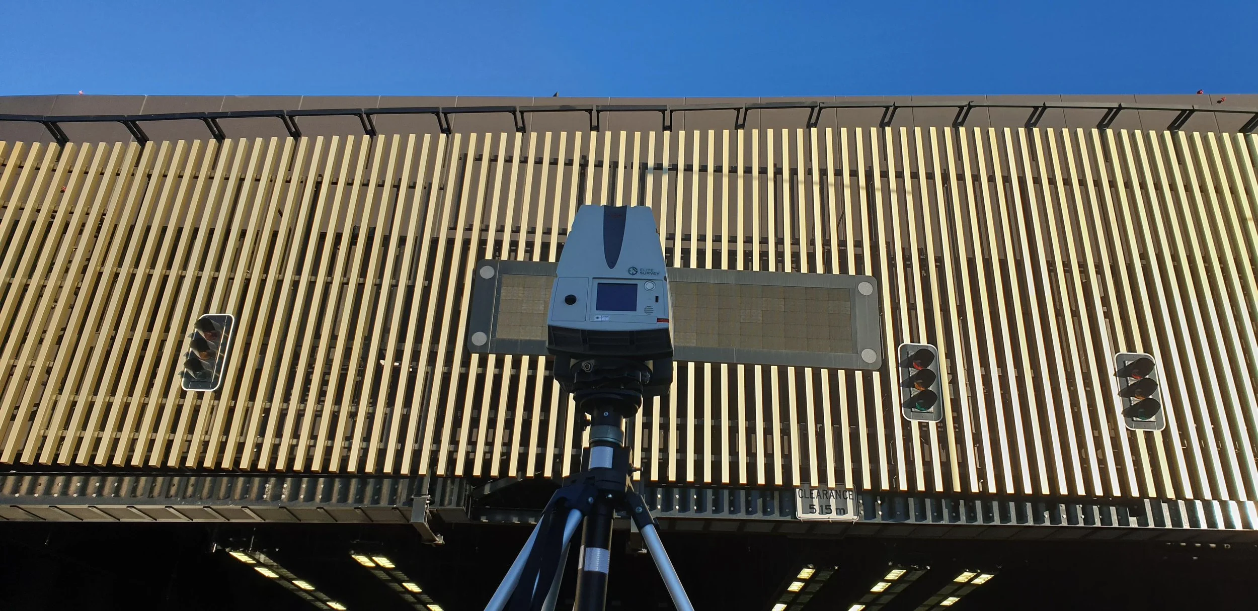
3D Laser Scanning
Goodbye traditional surveying limitations! The recent availability of entry level laser scanners and smartphones is allowing us to document the present conditions of a project at ease with high detail. Portable drones and smaller cameras mean ariel imaging is also within a reasonable price. You can scan an entire job at 20% of the time it takes traditional surveying methods.
3.5 MILLION
Our biggest project4 YEARS
of expertise 60 JOBS
completed25 CLIENTS
with repeat work3D Laser Scanning

Elite Survey has embraced advanced technology to overcome traditional surveying limitations. With the advent of laser scanners and smartphones, documenting project conditions in high detail has become more accessible. Here are some of the cutting-edge tools and capabilities that Elite Survey offers:
Laser Scanners: These devices allow for high-detail documentation of current project conditions with ease.
Portable Drones and Smaller Cameras: Affordable aerial imaging solutions that make capturing comprehensive site conditions and information more efficient and cost-effective.
Efficiency: These technologies enable scanning entire job sites in just 20% of the time required by traditional methods.
3D Scanning Industry Investment: Elite Survey has heavily invested in this field, purchasing top-tier equipment such as:
Leica P30 Scanner: Known for its precision and reliability.
Riegl VZ-600i: A versatile and high-performance 3D terrestrial laser scanner.
DJI Phantom Pro: A high-quality drone for aerial imaging.
Supercomputers for Data Processing: Powerful computing resources to handle large datasets and complex processing tasks efficiently.
In-House BIM Team: A dedicated Building Information Modeling (BIM) team to ensure accurate and integrated project data.
With these advanced tools and resources, Elite Survey offers a cutting-edge solution for modern surveying needs, making it the right choice for projects requiring high-detail and efficient documentation.
More of
-

Accuracy
more than you'll ever need
-

Accessability
see & measure anywhere a laser can point
-

High Quality Control
giving you control over accurate data for all stages of a project.
-

Efficient
cover large areas at great detail in a fraction of the time

Out tech
We invest in up-to-date tech so you don’t have to.
Handles even the biggest model data with ease.
Verify all your designs in one 3d environment.
Get accurate measurements & quantities before you get on-site.
FAQs
Questions deserve answers.-
3D Laser Scnaning (Reality Capture) is the process of producing a digital 3D model representation of your object, building or site created by scanning it in the real world using static, mobile and aerial laser scanning and/or photogrammetry. With either laser scanning or photogrammetry methods, millions of surface points are measured and mapped to develop a textured, high-resolution, geometrically precise 3D model.
-
There is a better way to capture existing site conditions accurately and completely, in both building renovation and infrastructure projects. Implementing a 3d Laser Scanning process enables you to minimise labor requirements, save time, and reduce project risk. The result is a highly-accurate, full-coverage, actionable set of real-time data, which can be directly connected into 2D and 3D design processes.
-
No worries! That’s why we look after being elite at it. Call us for a chat by clicking the ‘contact us now’ button at the bottom of the page.
-
As with everything there are some. scanning with a laser is lin-of-sight only. It cannot penetrate through surfaces like liDar
We are Elite at other stuff too…
Cadastre & Detail Survey
•
Civil & Construction Survey
•
Marine & Foreshore Survey
•
Hydrographic Survey
•
3D Laser Scanning
•
BIM & Digtal Engineering
•
Cadastre & Detail Survey • Civil & Construction Survey • Marine & Foreshore Survey • Hydrographic Survey • 3D Laser Scanning • BIM & Digtal Engineering •
Check out our Elite Capability Statement